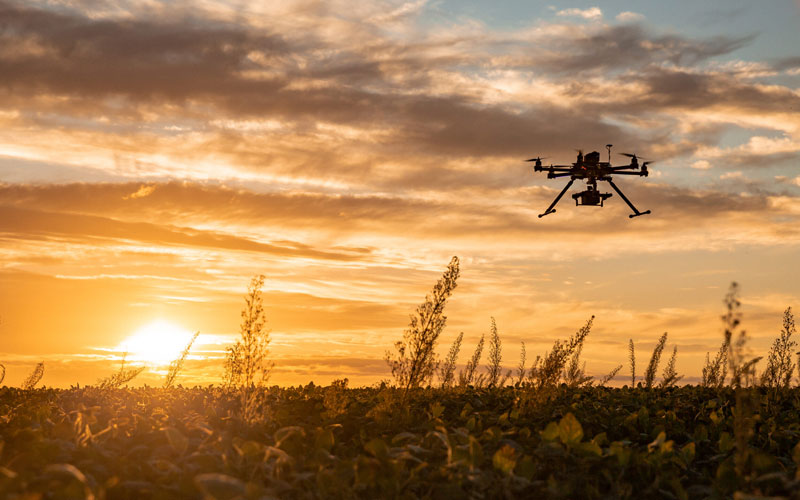
Land Survey
It reduces field time and surveying costs by working up to five times faster than land-based methods. Drones can be used in a variety of environments and conditions.
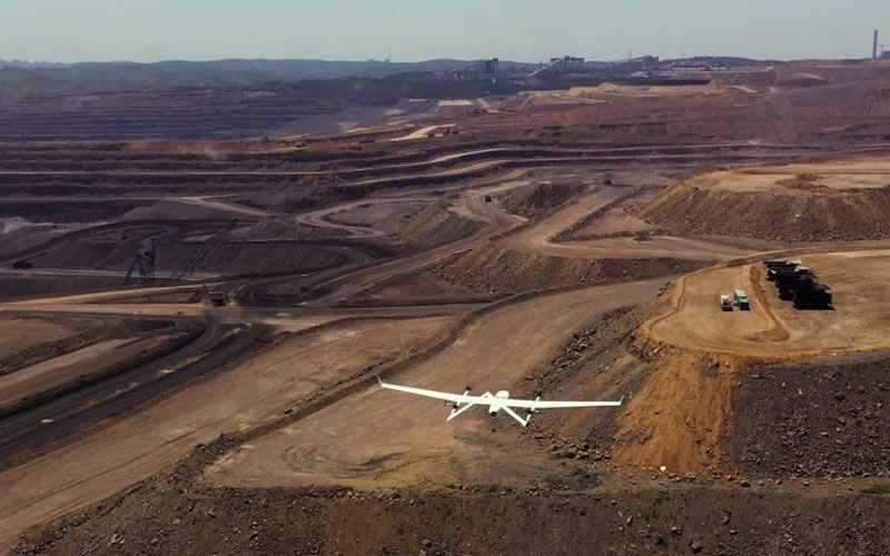
Mining Survey
Drone mining surveys are known to produce highly accurate measurements using photogrammetric cameras and software. which is highly useful in mining stockpile management, usually a daily problem for mine managers.
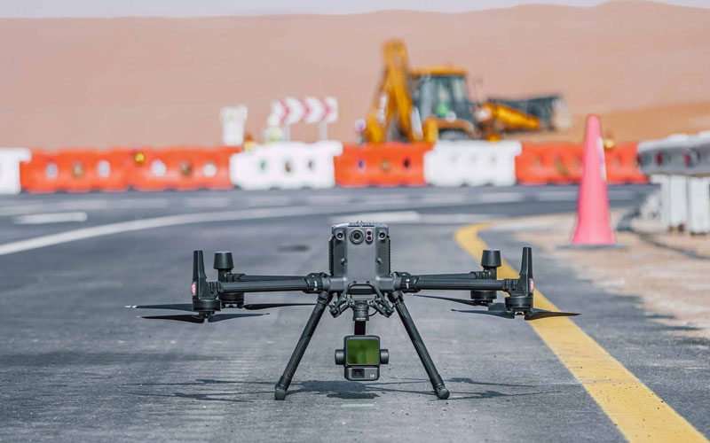
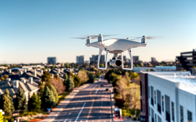
Road Survey
For roadway safety, drones can be utilized as a more intelligent and mobile detection sensor that can proactively and in real-time identify traffic issues
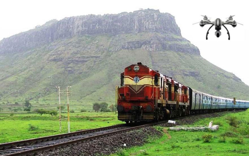
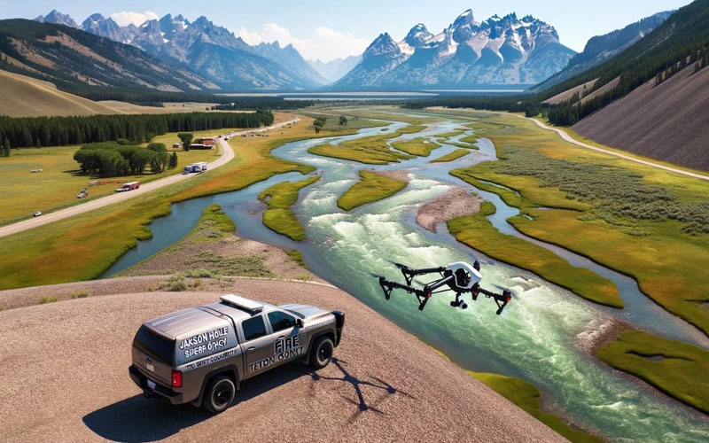
Railway Survey
Drones play a crucial role in the initial planning stages of railway projects. Equipped with high-resolution cameras and LiDAR sensors, drones can conduct aerial surveys of potential railway routes quickly and accurately
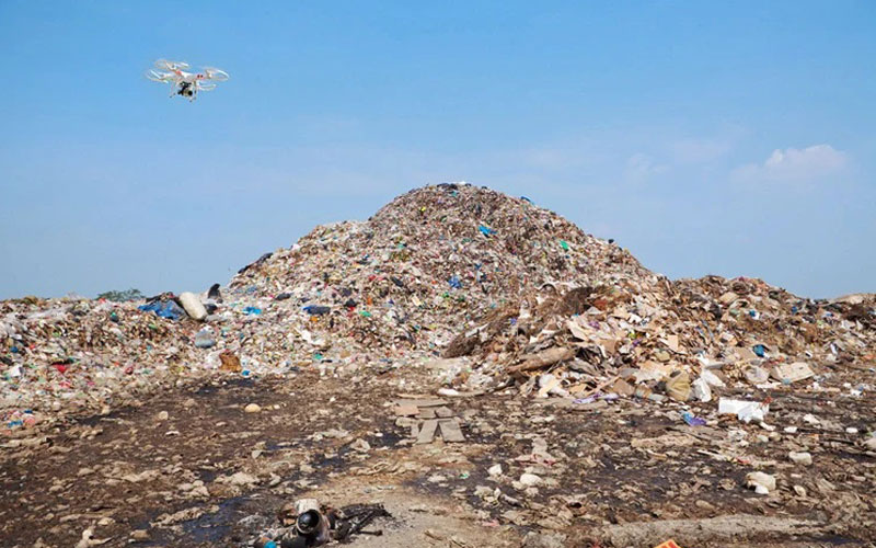
Solid Waste Survey
Across the globe, governments and organisations are turning to drone technology to help them in managing solid waste. An increasing population inevitably leads to increased consumption and more solid waste, which we need to handle correctly.
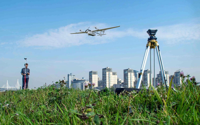
City Survey
Drones can capture accurate terrain data and maps of an area because they can view the entire terrain without obstacles. Drones can provide access to hard-to-reach areas, such as roofs, for inspection.
Canal Survey
he complexity of these situations has resulted in the need for assessment of the impact of weeds on the hydraulic efficiency of canals. For accurate assessment of weeds, low-altitude drone survey becomes an innovative and cost-effective solution along with ground photos.
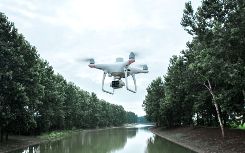
River Survey
We have gained the opportunity to obtain very high-resolution imagery and topographic data of rivers using drones and novel digital photogrammetric processing techniques.
Property Survey
Drone Surveys Offer Highly Accurate Data, All the data that is captured by conducting drone surveys is precise and enables informed decision-making. Drone surveys utilize modern tools and techniques such as GPS, LiDAR (Light Detection and Ranging), etc. to produce comprehensive and accurate maps and models.
